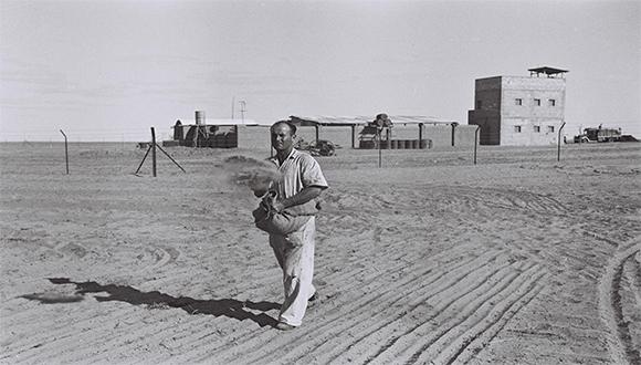
הרצאת הקולוקוויום: The Zionist Economic Diameter: The Yarkon-Negev Infrastructure and the Settlement of the Lachish Region, 1948-1956
קולוקוויום
סמסטר ב' תשפ"ג
ימי חמישי 12-14
בניין ווב 101
04.05.23 בשעה 12:00
ד"ר אדר' זיו לייבו
הפקולטה לארכיטקטורה, הטכניון
The Zionist Economic Diameter:
The Yarkon-Negev Infrastructure and the Settlement of
the Lachish Region, 1948-1956
The first master plan of Israel has drawn much scholarly attention to the short-lived planning department headed by the "planner of the state" and Bauhaus alumni, Arieh Sharon. This preoccupation fails to address the competition between powerful agencies controlling the infrastructure above and below ground. Such is the seminal "hydraulic mission" launched by Zionist modernizers that employed US knowledge and grants against the backdrop of cold war politics. Their prime goal was to consolidate the National Water Carrier (henceforth NWC, est. 1952-1964) from the abundant north to the Negev desert, following national priorities and economic constraints.
This research addresses the NWC's role as a mechanism for settlement and territorial sovereignty following the United Nations Partition Plan for Palestine of 1947. Drawing on scientific and technological studies (STS), I focus on the mediation of political ideologies and techno-scientific knowledge in hydraulic networks and territorial boundaries. Through a methodological juxtaposition of various archival plans and documents, I argue that implementing the Yarkon-Negev infrastructure and the Lachish project in the mid-1950s unraveled the rivalry between statist-urban and nationalist-rural coalitions. In the north, the nationalist-rural modernizers fully controlled the visible water channeling while expropriating Arab lands in the Beit Netofa Valley (al-Battauf). However, in the south, the rural coalition confronted state planners who advocated hierarchical settlement schemes constituted on the New Towns and their geo-economic influence zones.
While Israel's architectural historiography focuses on the physical objects on the ground, this study proposes an alternative spatial account of the undergrounded system building processes. The spatial organization of such invisible hydraulic networks provides new insights into the Zionist hydro-politics subjugating nature to control territory. Whereas the state planners advocated a balanced population dispersal, the modernizers headed by the Jewish Agency settled the entire cultivable land by politicizing the country's natural resources. The hydraulic system prioritized total-area cultivation by the Green Line, thus undermining the regional hierarchy and economic influence zones that state planners devised around the new town of Kiryat Gat.


